The Formation of Panama’s Terrain and Geography
Panama’s unique terrain and geography were shaped millions of years ago when tectonic activity caused the rise of the Isthmus of Panama, connecting North and South America. This geological event dramatically transformed the planet’s landscape, creating a natural land bridge and altering ocean currents and global climate patterns.
Panama is known for its geographic diversity, which includes lush rainforests, high mountain ranges, and extensive coastlines along both the Pacific Ocean and the Caribbean Sea. The country’s mountainous regions, such as the Central Mountain Range, feature the highest peak, Volcán Barú, which rises to 3,475 meters (11,400 feet). Additionally, Panama’s location is enhanced by vast tropical rainforests, such as the Darién Gap, one of the most pristine and untouched rainforests in the world.
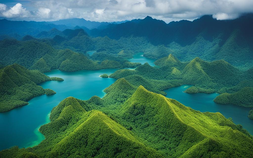
The country is also home to an extensive river network, with over 480 rivers coursing through the land, providing vital resources like hydroelectric power. Major rivers such as the Río Chepo and Río Chagres are key for Panama’s infrastructure, supporting both energy generation and agriculture.
Panama’s strategic position between the Atlantic and Pacific Oceans has made it a vital hub for global commerce, primarily through the Panama Canal. This artificial waterway transformed international maritime trade by providing a shortcut for shipping routes, enhancing Panama’s status as a global trade center.
Panama’s terrain, shaped by its geographical evolution, not only boasts natural beauty but also provides economic and environmental advantages. Its climate and terrain support a thriving ecosystem of biodiversity, making the country an attractive destination for ecotourism, research, and sustainable practices.